La Belle BretagneLa Belle
Bretagne
    Type a place, a town or an idea: “lighthouse”, “Carnac”…
    EN
    TripPlan my trip

    Côtes-d’Armor

    Tides at Saint-Quay-Portrieux

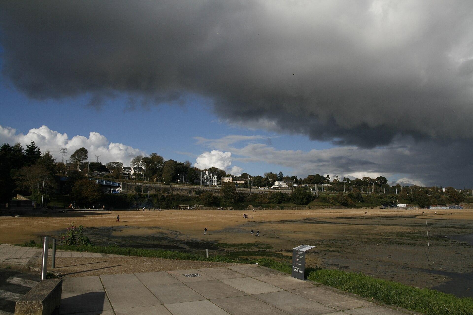
    © Formationtiriad · CC BY-SA 4.0 · Wikimedia Commons

    The next seven days

    High and low water times at Saint-Quay-Portrieux, with the water height and coefficient, are calculated by the Shom, the French Navy’s hydrographic service, in French local time.

    All the tides for this port on the Shom website ↗

    By the water, close by

    Stay in Saint-Quay-Portrieux

    Places to stay that are still available, with current prices, compared across the main booking platforms.

    Showing it places cookies from Stay22.

    Reading the tide times

    • The coefficient runs from 20 to 120: 45 is an average neap tide, 70 an average tide, 95 an average spring tide. The higher it is, the further the sea goes out: those are the days for shore fishing.
    • The sea takes about six hours to go from low to high tide, and it rises faster in the middle of the tide than at the start and the end.
    • These are predictions: according to the Shom, the real height can differ by several tens of centimetres, especially when atmospheric pressure is low.
    • To walk across to an island or islet, set off as the tide goes out and come back well before low tide: the sea comes back fast over flat sands.

    The GR34 stage by stageBrittany’s islands