Viewpoint
Balcon de la Baie
Saint-Georges-de-Gréhaigne
Ille-et-Vilaine
© GO69 · CC BY 4.0 · Wikimedia Commons
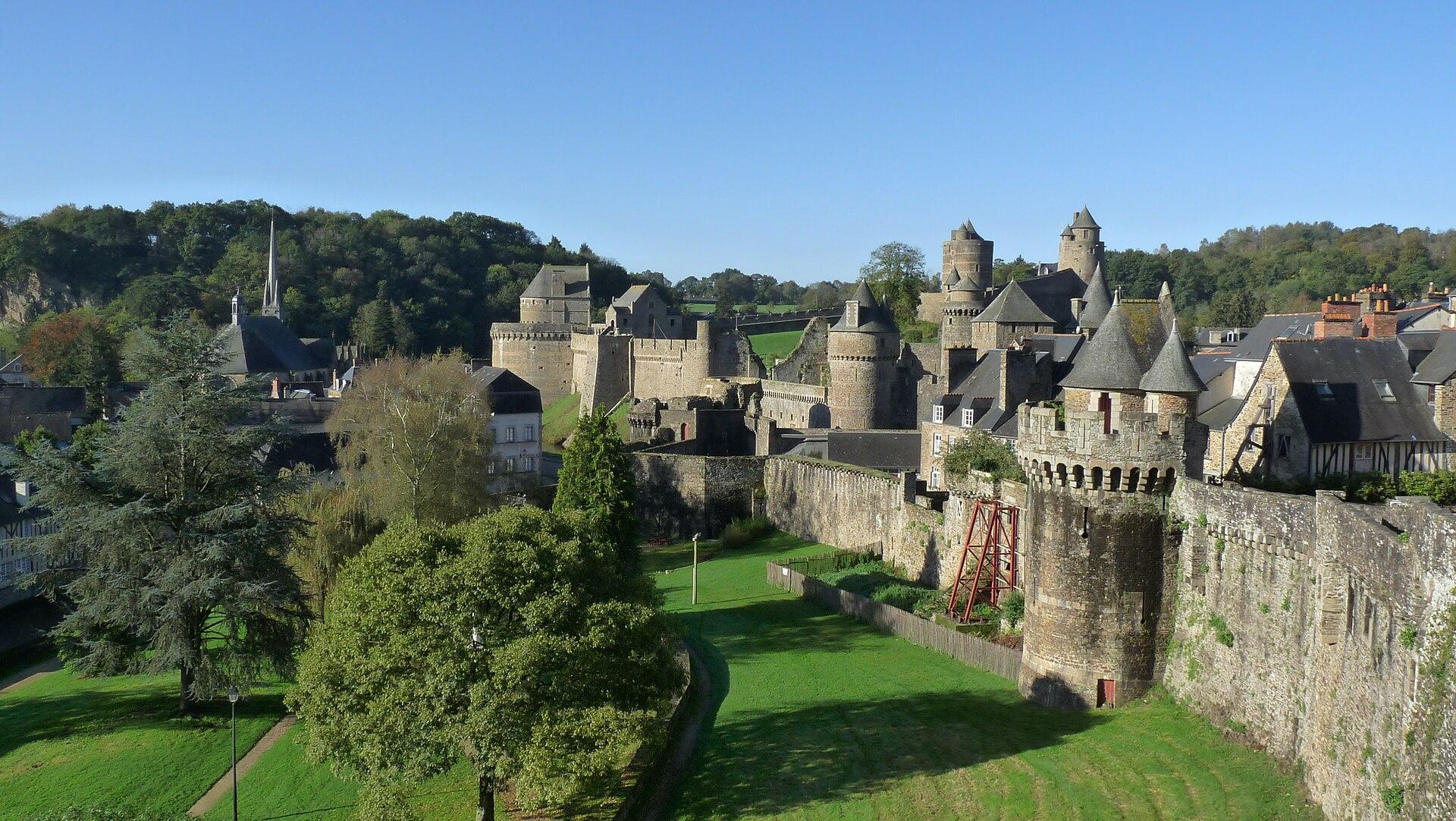
From the bay of Mont-Saint-Michel to the town of Fougères and its castle.
The route known to OpenStreetMap runs from Beauvoir to Fougères, over 61 km, through Val-Couesnon.
A suggested split into stages of about forty kilometres, named after the town where they finish. For each finish, available places to stay open on the booking map.
Click a stage to highlight it. Route: OpenStreetMap contributors (ODbL), via Waymarked Trails.
Places from the guide less than a kilometre from the route, in route order.
Hotels, B&Bs, gîtes and campsites along the route, with current prices and availability.
Showing it places cookies from Stay22.

La Belle
Bretagne