La Belle BretagneLa Belle
Bretagne
    Type a place, a town or an idea: “lighthouse”, “Carnac”…
    EN
    TripPlan my trip

    Finistère, Côtes-d’Armor, Ille-et-Vilaine

    V6 · Camaret → Vitré

    334 km
    Of route
    8
    Stages

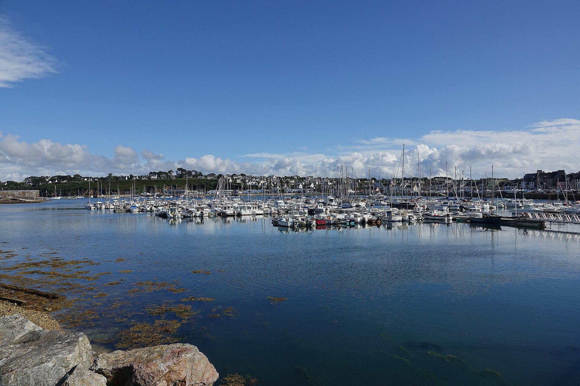
    © Gzen92 · CC BY-SA 4.0 · Wikimedia Commons

    Brittany from west to east, from the Crozon peninsula to Vitré.

    The route known to OpenStreetMap runs from Camaret-sur-Mer to Vitré, over 334 km, through Carhaix-Plouguer, Gouarec, Loudéac, Plélan-le-Grand, Bruz, Essé.

    The stages

    A suggested split into stages of about forty kilometres, named after the town where they finish. For each finish, available places to stay open on the booking map.

    Click a stage to highlight it. Route: OpenStreetMap contributors (ODbL), via Waymarked Trails.

    1. Stay in Carhaix-Plouguer ↗
    2. Stay in Gouarec ↗
    3. Stay in Loudéac ↗
    4. Stay in Trémorel ↗
    5. Stay in Plélan-le-Grand ↗
    6. Stay in Bruz ↗
    7. Stay in Essé ↗
    8. Stay in Vitré ↗

    What to see on the way

    Places from the guide less than a kilometre from the route, in route order.

    Staying along the cycle route

    Hotels, B&Bs, gîtes and campsites along the route, with current prices and availability.

    Showing it places cookies from Stay22.

    The other cycle routes in the area

    Before setting off by bike

    • A cycle route mixes greenways, kept for bikes and walkers, with small roads shared with cars.
    • Our stages of about forty kilometres are only a suggestion: adapt them to your pace and to where you can stay.
    • The GPS file loads into a navigation app or a bike computer.
    • Check the wind before you set off: in Brittany it often decides which way round is best.

    The weather in BrittanyThe GR34 stage by stage