Activity
Sailing, kayaking and paddleboarding in Dinard and Saint-Lunaire
Saint-Malo, Dinard, Saint-Lunaire
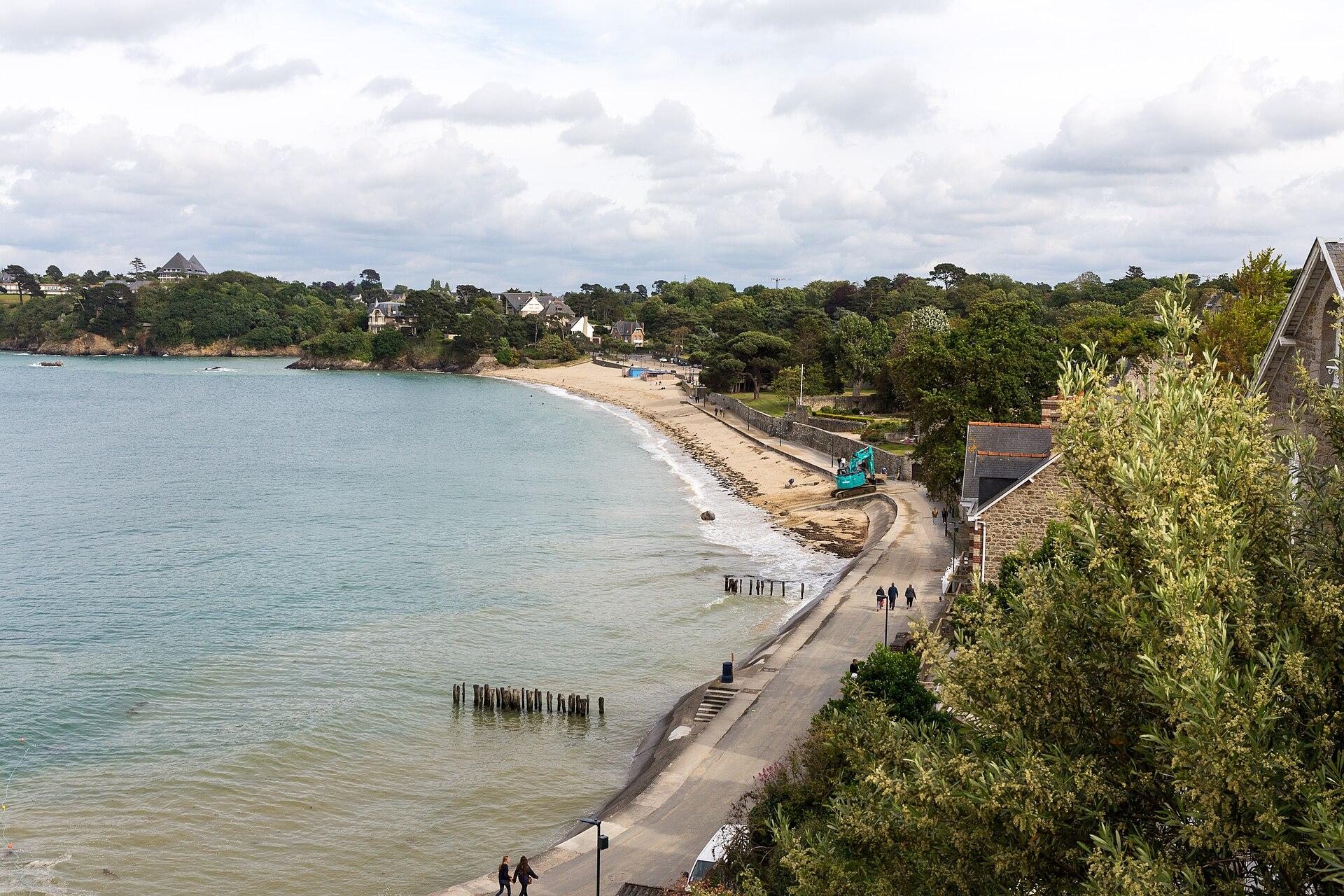
Côtes-d’Armor, Morbihan, Ille-et-Vilaine
© Pymouss · CC BY-SA 4.0 · Wikimedia Commons
From the Rance towards the Rhuys peninsula, through inland Brittany. The last part towards Rhuys is still being developed.
The route known to OpenStreetMap runs from Dinard to Rochefort-en-Terre, over 145 km, through Saint-André-des-Eaux, Saint-Méen-le-Grand, Ploërmel.
A suggested split into stages of about forty kilometres, named after the town where they finish. For each finish, available places to stay open on the booking map.
Click a stage to highlight it. Route: OpenStreetMap contributors (ODbL), via Waymarked Trails.
Places from the guide less than a kilometre from the route, in route order.
Saint-Malo, Dinard, Saint-Lunaire
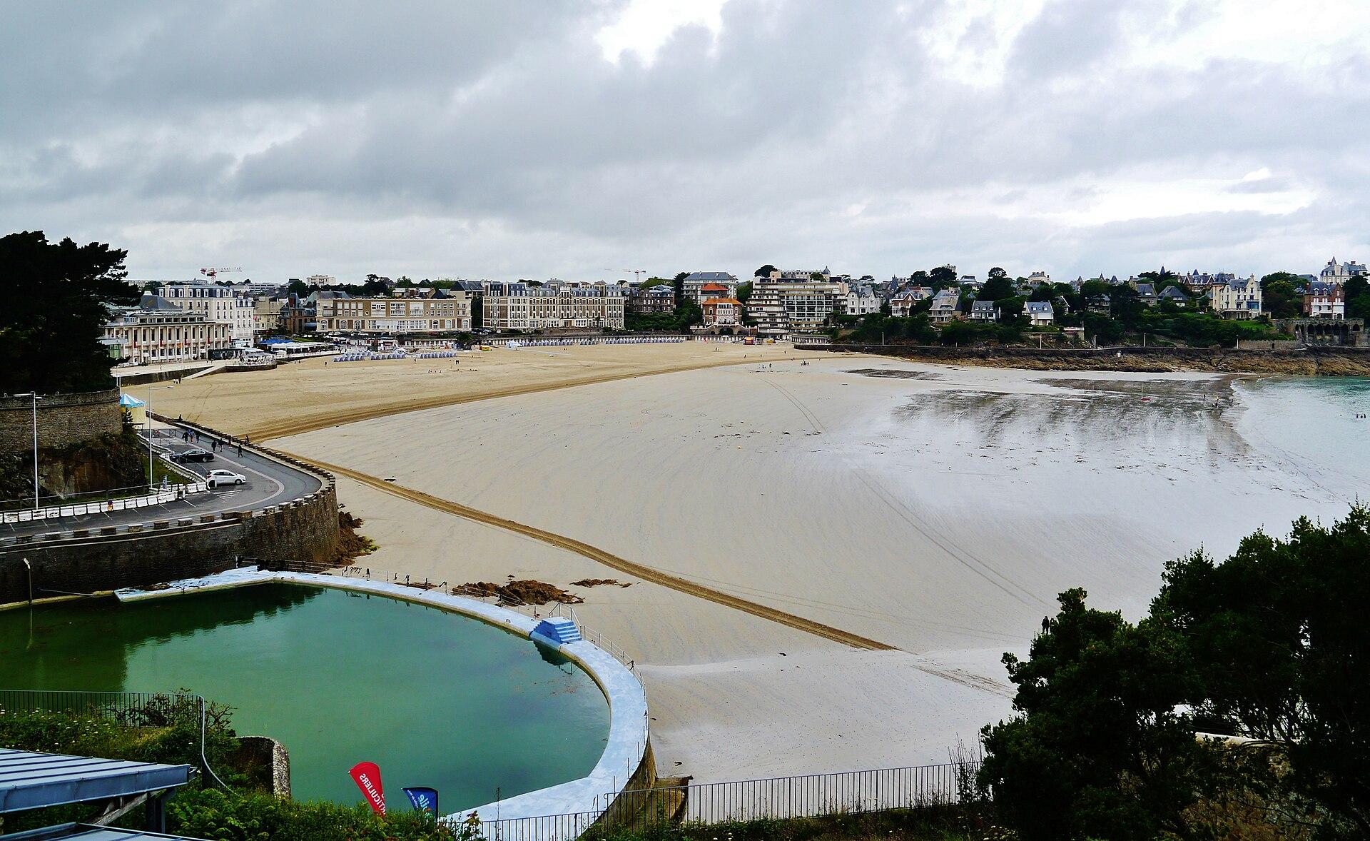
Dinard
Dinard
Tréméreuc
Saint-Samson-sur-Rance
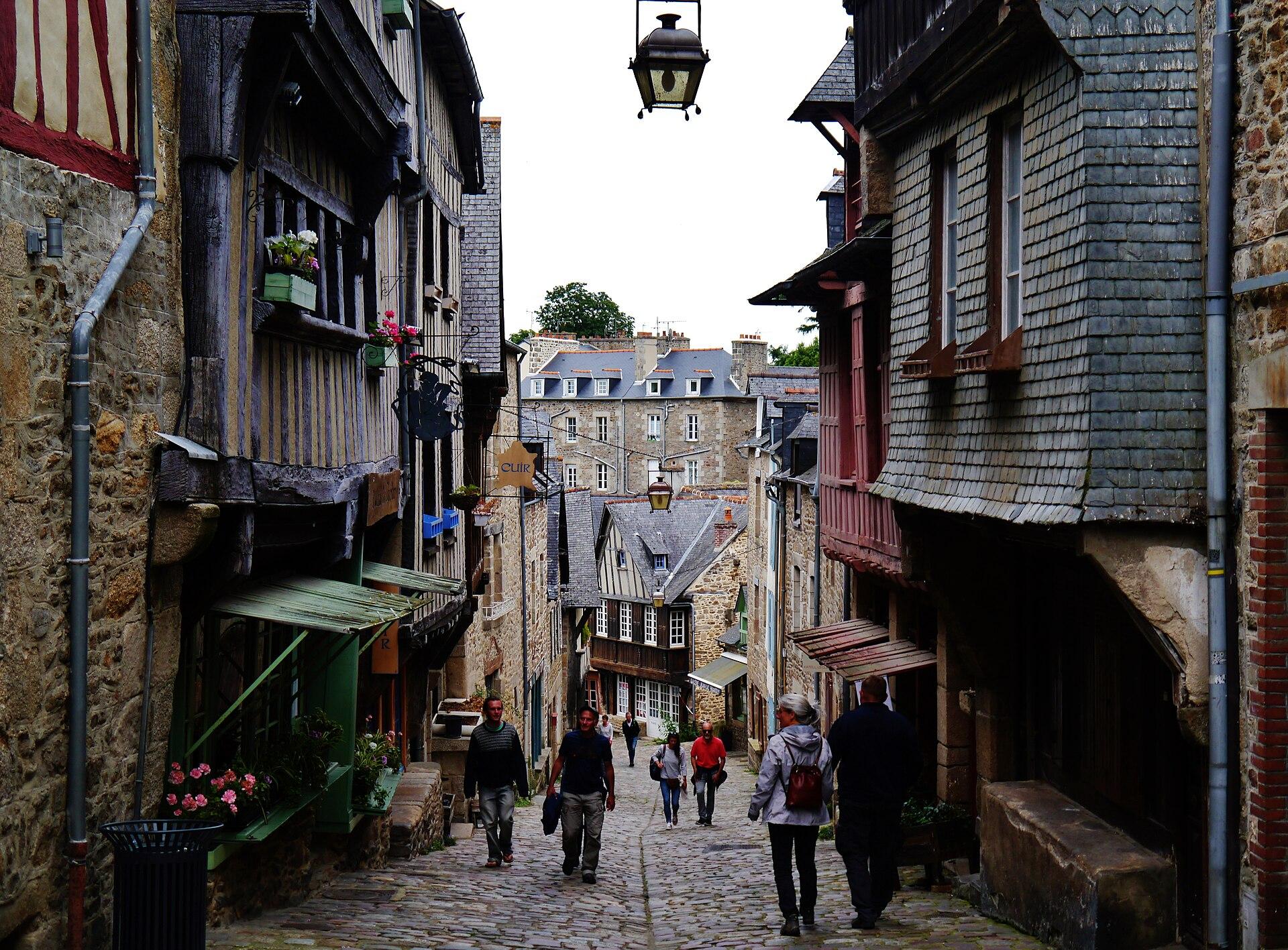
Dinan
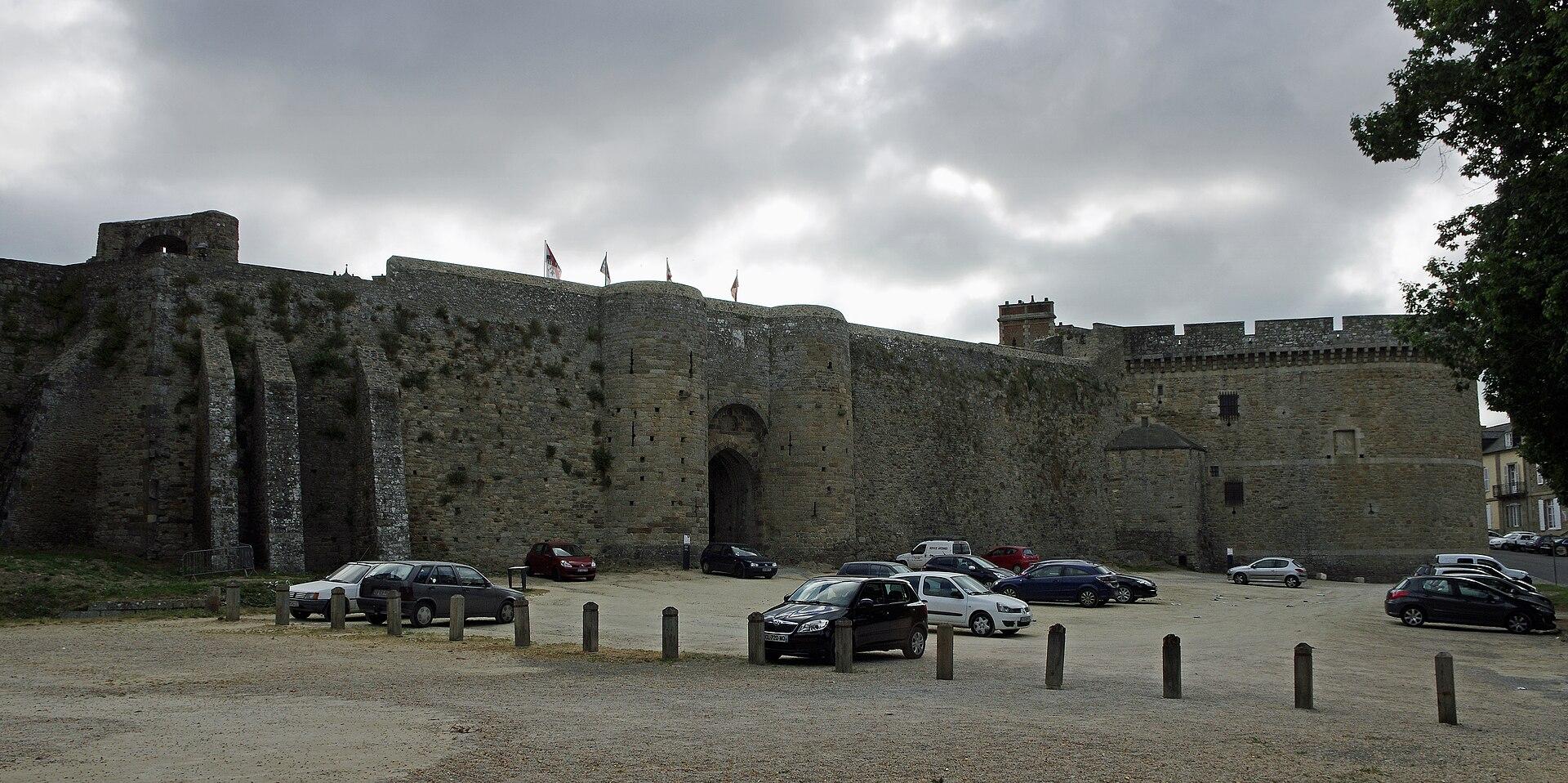
Dinan
Le Quiou
Hotels, B&Bs, gîtes and campsites along the route, with current prices and availability.
Showing it places cookies from Stay22.
La Belle
Bretagne