La Belle BretagneLa Belle
Bretagne
    Type a place, a town or an idea: “lighthouse”, “Carnac”…
    EN
    TripPlan my trip

    Finistère, Côtes-d’Armor, Ille-et-Vilaine

    EV4 · La Vélomaritime

    434 km
    Of route
    11
    Stages

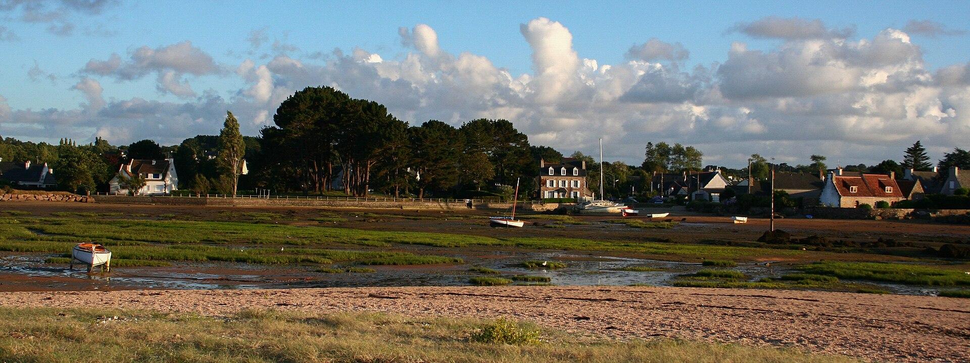
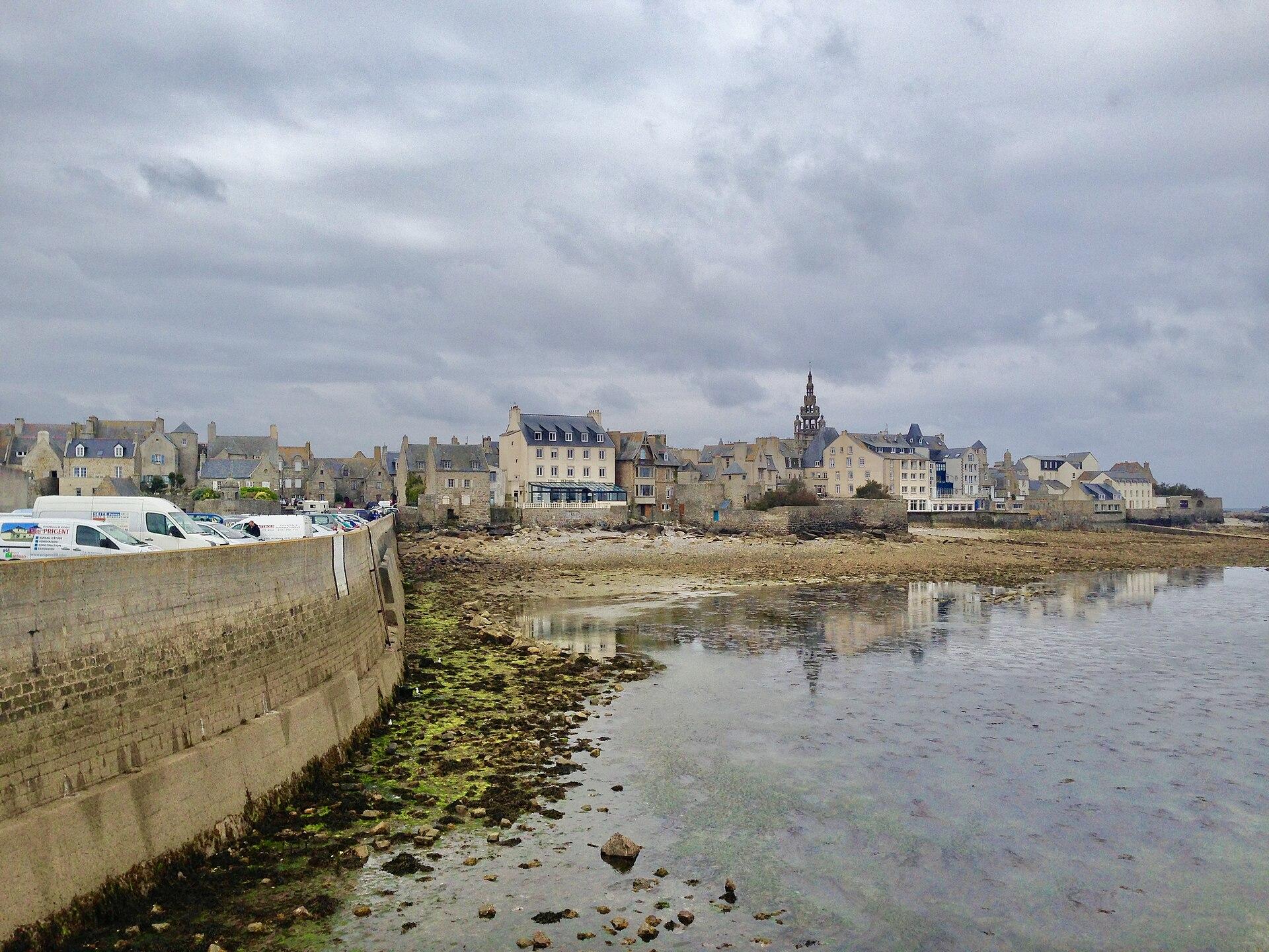
    © Eusebius · CC BY 3.0 · Wikimedia Commons

    The Breton part of La Vélomaritime, the cycle route that follows the Channel all the way to Dunkirk.

    The route known to OpenStreetMap runs from Roscoff to Le Mont-Saint-Michel, over 434 km, through Plouezoc'h, Trébeurden, Plouézec, Plérin, Matignon, Saint-Méloir-des-Ondes.

    The stages

    A suggested split into stages of about forty kilometres, named after the town where they finish. For each finish, available places to stay open on the booking map.

    Click a stage to highlight it. Route: OpenStreetMap contributors (ODbL), via Waymarked Trails.

    1. Stay in Plouezoc'h ↗
    2. Stay in Plestin-les-Grèves ↗
    3. Stay in Trébeurden ↗
    4. Stay in Penvénan ↗
    5. Stay in Plouézec ↗
    6. Stay in Plérin ↗
    7. Stay in Pléneuf-Val-André ↗
    8. Stay in Matignon ↗
    9. Stay in Saint-Malo ↗
    10. Stay in Saint-Méloir-des-Ondes ↗
    11. Stay in Le Mont-Saint-Michel ↗

    What to see on the way

    Places from the guide less than a kilometre from the route, in route order.

    Staying along the cycle route

    Hotels, B&Bs, gîtes and campsites along the route, with current prices and availability.

    Showing it places cookies from Stay22.

    The other cycle routes in the area

    Before setting off by bike

    • A cycle route mixes greenways, kept for bikes and walkers, with small roads shared with cars.
    • Our stages of about forty kilometres are only a suggestion: adapt them to your pace and to where you can stay.
    • The GPS file loads into a navigation app or a bike computer.
    • Check the wind before you set off: in Brittany it often decides which way round is best.

    The weather in BrittanyThe GR34 stage by stage