On foot
Hiking in Brittany
The GR 34 and the coastal loops: what to know about waymarking, tides and wind before you set off walking.
7 min read
The customs officers’ path, now the GR 34, follows the coast from Mont-Saint-Michel to Saint-Nazaire for more than two thousand kilometres: it is the longest long distance trail in France. It dates from 1791, when the national customs service was created to stop the smuggling of salt, tobacco and alcohol landed in the coves. That explains its route: it hugs the coast, because everything had to be watched. Abandoned in the early 20th century, it was reopened as a hiking trail from 1968, near Lannion.
Almost nobody walks it all: it takes eight to sixteen weeks. It is walked in day stages, and that is when it is at its most beautiful, since you can choose your tide and your wind.
What makes walking in Brittany special
- The climb is deceptive: the GR 34 never goes high, but it drops and climbs again at every cove. Over a day, the total climb often exceeds five hundred metres.
- The ground is slippery as soon as it has rained, and it rains. Wet granite slabs and roots call for shoes with grippy soles, not trainers.
- The wind doubles the effort. Walking into a thirty knot wind on an exposed headland is as tiring as a climb.
- The tide can cut off a passage. A few stretches of shore can only be crossed on a falling tide, around mid tide.
The hikes in our guide
Our guide lists two hundred and thirty seven routes, most of them loops, with their route and distance. A loop is better than an out and back on the GR: you do not see the same landscape twice, and you do not need two cars.
Routes in northern Brittany
- WalkÀ la rencontre de la FloraSaint-Alban · 3 hoursAn 11.9 km loop in Saint-Alban, from the heights of the hilltop village to the Flora valley, with a series of views.
- WalkAu-delà du Menez Bré et du géant de pierre de PergatLouargat · 2 h 30A 9.6 km loop in Louargat: the climb up the Menez Bré and its chapel, a view over the Trégor, then the Pergat menhir, a giant more than 7 m high.
- WalkAu fil du MeuLoscouët-sur-Meu · 3 hoursA 14.6 km loop in Loscouët-sur-Meu, approved by the Hiking Federation: a pond, the banks of the Meu and a Moorish-style bell tower in the countryside.
- WalkAu Pays de Saint-GuihenLandéhen · 3 h 15A 9.8 km loop in Landéhen, between history and nature: places of worship dedicated to Saint Guihen and the green Gouëssant valley.
- WalkAutour de l'étang de BeffouLoguivy-Plougras · 1 hourAn easy 3.4 km loop around the Beffou pond, on the edge of the Monts d’Arrée: heathland, legends and a feudal motte of the Dukes of Brittany.
- WalkAutour de LancieuxBeaussais-sur-Mer · 3 hoursAn 11.8 km loop around Lancieux: the Ébihens archipelago, the Frémur reed beds and the salt marshes of the bay of Beaussais.
- WalkAutour de PlouaretPlouaret · 2 hoursA short, shady 5.1 km loop around Plouaret, along sunken lanes lined with hedges and beeches, ideal for families.
- WalkBalade au pays des TorsPlougrescant · 2 hoursAn easy 5.7 km loop around the Gouffre site in Plougrescant: geology, wildlife, plants, uses of the shore and legends.
Routes in southern Brittany
- WalkCircuit de l’abbaye de TimadeucBréhan · 1 h 10An easy 4.5 km loop around the Trappist abbey of Timadeuc, in Bréhan: grounds, woods, a calvary and a lock on the Nantes to Brest canal.
- WalkBalade de KercanicNévez · 1 h 30An easy 5.1 km loop in Névez: the 15th century thatched hamlet of Kercanic, Tahiti beach and views of the Glénan archipelago.
- WalkBalade de LocunduffTourc'h · 2 h 30An easy 10.2 km loop in Tourc’h, from the Locunduff chapel and its Saint Candide spring to the Bois Daniel botanical trail.
- WalkBelz, circuit Etré Douar ha MorBelz · 2 h 45An easy 11 km loop in Belz, between land and sea: the ria d’Étel, the Pointe du Perche, dolmens restored by Le Rouzic and the island of Saint-Cado.
- WalkCircuit du Blavet canaliséNeulliac · 3 h 30A 14 km loop in Neulliac in the footsteps of the boatmen: the Perzo calvary, the Saint-Samson chapel, the Boloré lock and the Tresclé dyke.
- WalkCircuit du bois du CouëdicCrédin · 1 h 10An easy 4.5 km loop from the church in Crédin to the Bois du Couëdic and its beech avenue, ideal for families.
- WalkBois et rivièreSaint-Ségal - Pleyben - Châteaulin - Pont-de-Buis · 2 h 50A hilly 11.3 km loop from Saint-Ségal to Pont-de-Buis, through woodland along the Douffine, under the viaduct and near the Palud marshes.
- WalkBrec’h, circuit de Saint-DéganBrech · 2 h 15An easy 9.6 km loop in Brec’h: the thatched village of Saint-Dégan, the Saint-Quirin chapel, a Roman bridge and a heritage orchard.
The headlands, worth the detour
A Breton headland has to be earned on foot: the car park is always some way off, and that is just as well. The most spectacular are reached by paths of half an hour to two hours.
Viewpoints on the coast
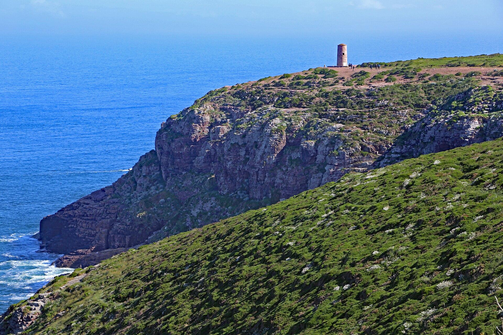 ViewpointCap FréhelPlévenon · 1 to 2 hours, more if you walk to the fort or along the GR34.One of Brittany’s great panoramas, with cliffs, heathland, an emerald sea and sweeping views over the north coast of Brittany.
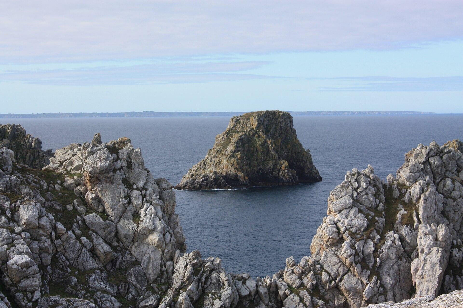 ViewpointPointe de Pen-HirCamaret-sur-Mer · 1 to 2 hours.One of the great sites of the Crozon peninsula, with high cliffs of Armorican sandstone, the vast ocean and the famous Tas de Pois rocks extending the headland.
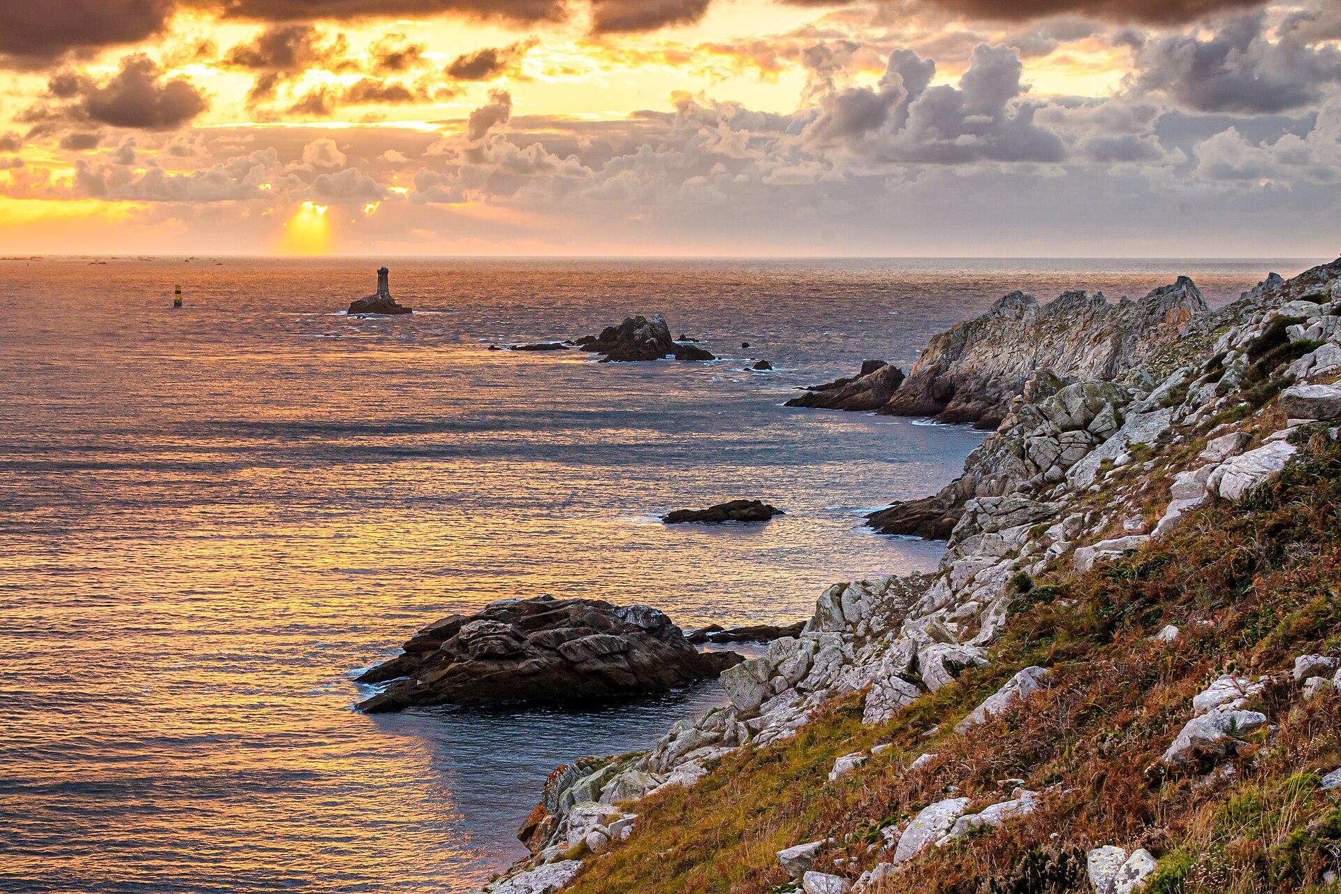 ViewpointPointe du RazPlogoff · 1 h 30 to 3 h, depending on the route and the time you spend.One of Finistère’s great panoramas, a Grand Site de France, with cliffs, the Raz de Sein strait, La Vieille lighthouse, the Île de Sein and the vast Atlantic.
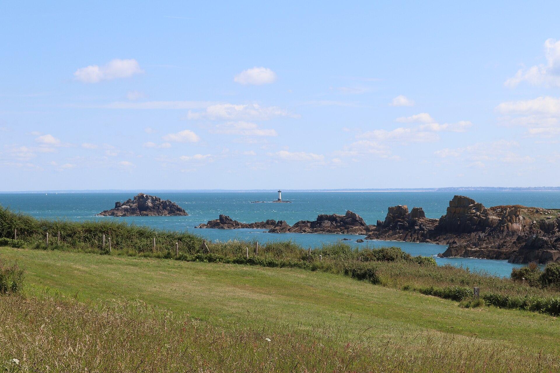 ViewpointPointe du GrouinCancale · 1 to 2 hours.An iconic headland near Cancale with a panorama from the bay of Mont-Saint-Michel to the Emerald Coast, with views of Chausey, Cap Fréhel and the Île des Landes.
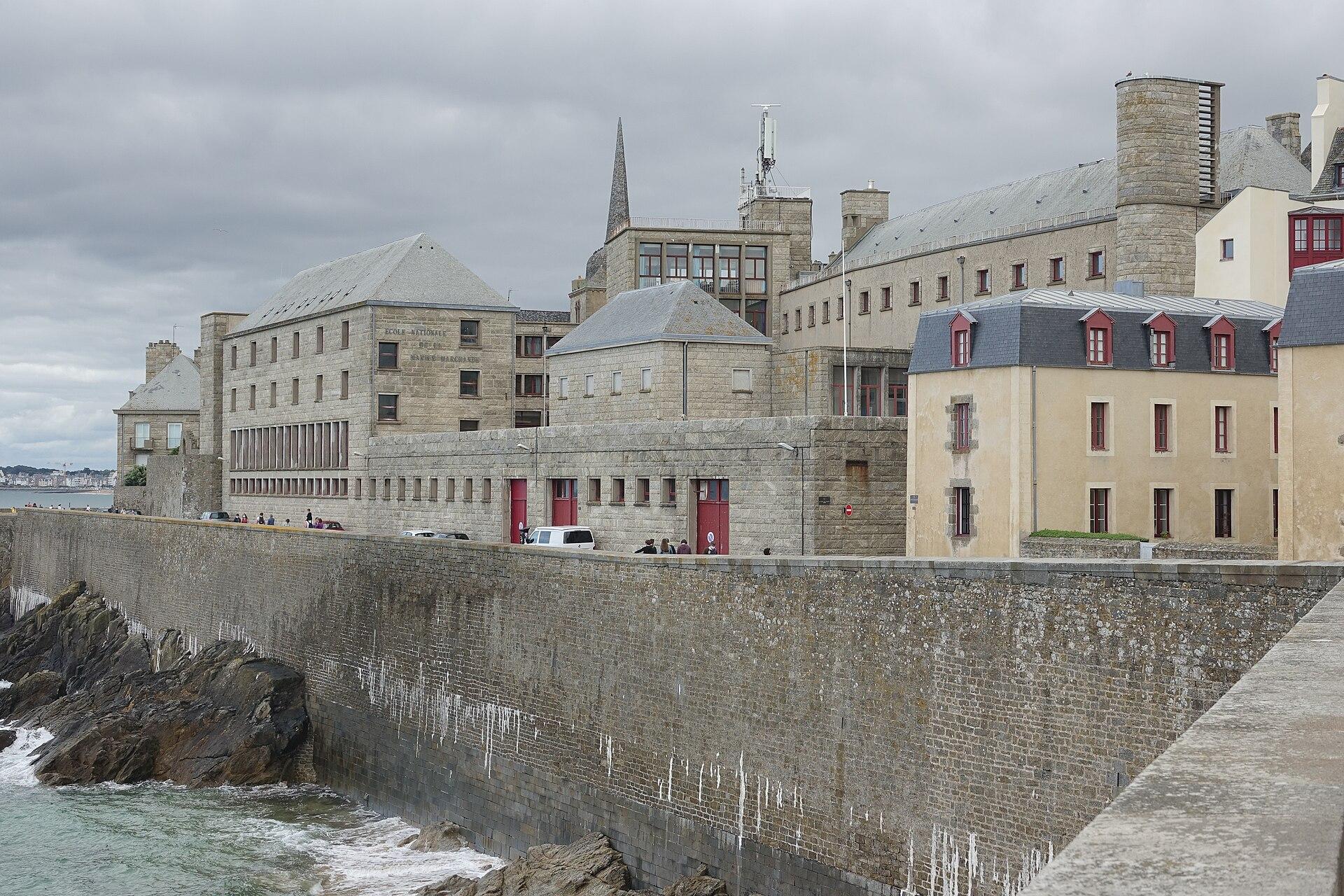 ViewpointSaint-Malo RampartsSaint-Malo · 1 h to 1 h 30 for the full loop with photo stops.A panoramic loop of about 1.75 km around Intra-Muros, with views of the Sillon, Fort National, the Grand Bé, Dinard and the harbour basins.
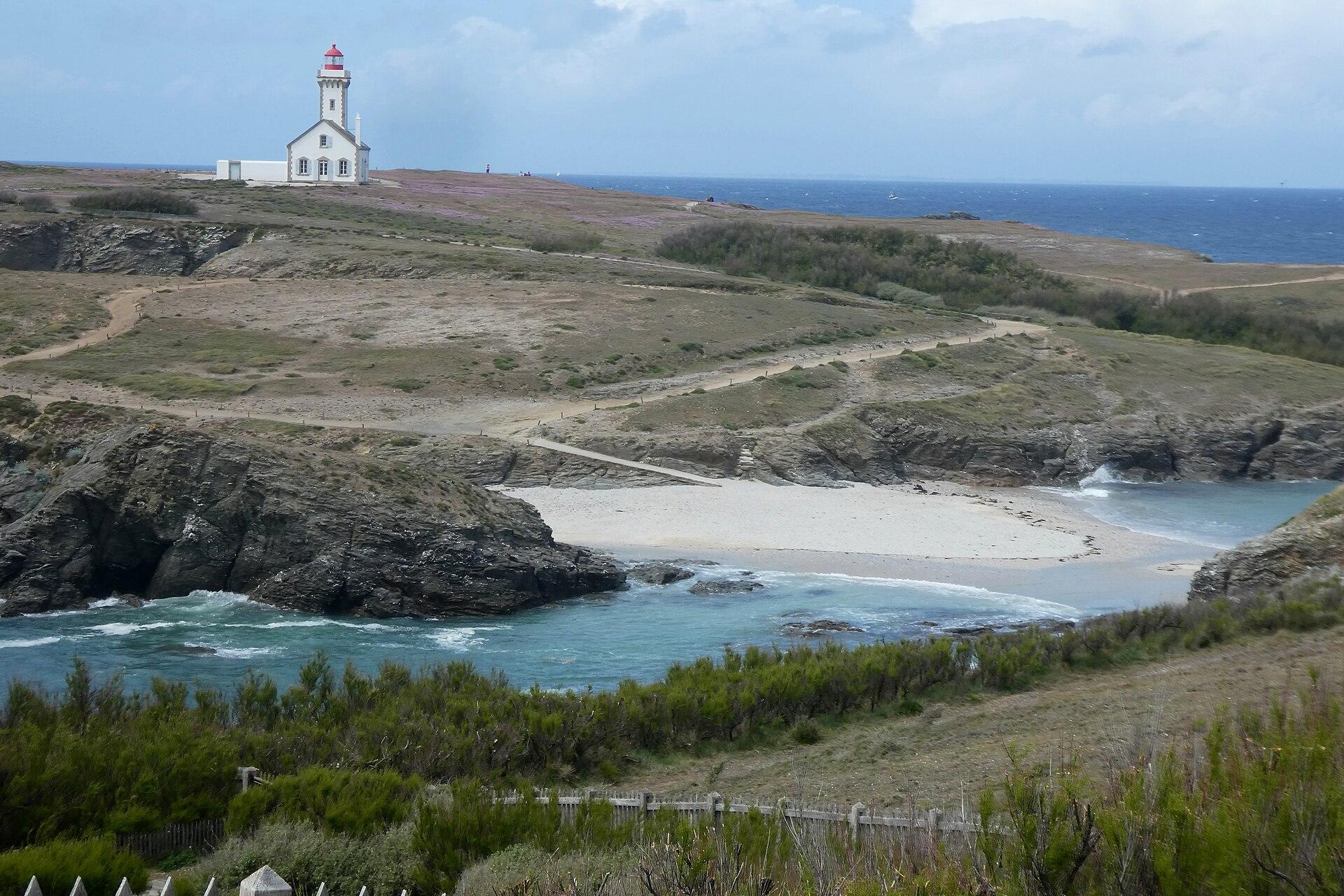 ViewpointPointe des PoulainsSauzon, Belle-Île-en-Mer · 2 hours to half a day.The jewel of north-west Belle-Île, with an 1868 lighthouse, Sarah Bernhardt’s estate and a 360° ocean view, open all year but with an islet cut off at high tide.
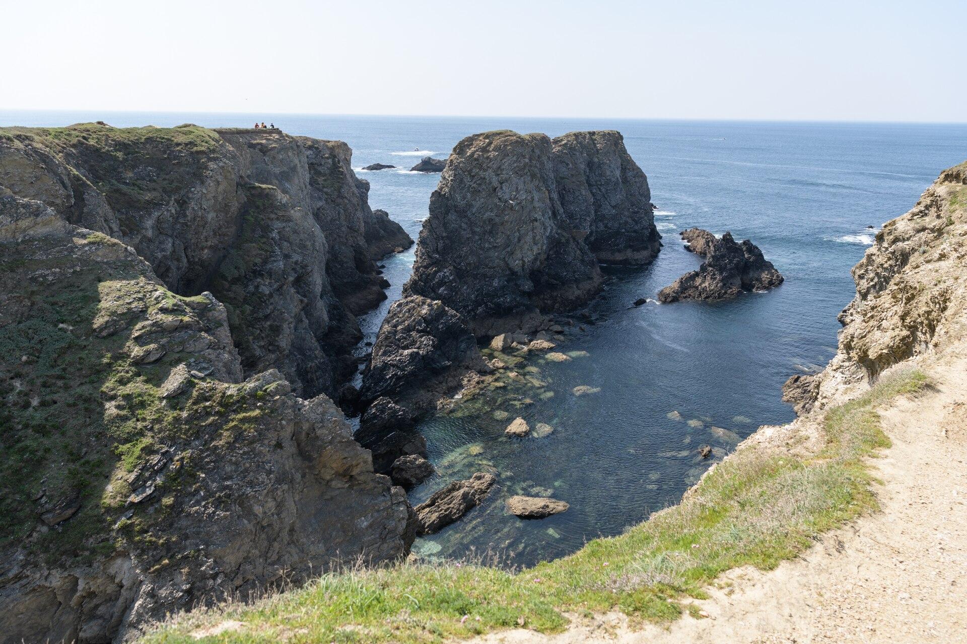 ViewpointAiguilles de Port CotonBangor · 45 minutes to 1 h 30 for the site, longer for a hike or the Monet trail.One of Belle-Île-en-Mer’s most famous landscapes, immortalised by Claude Monet in 1886, with rock needles, cliffs and a spectacular sunset.
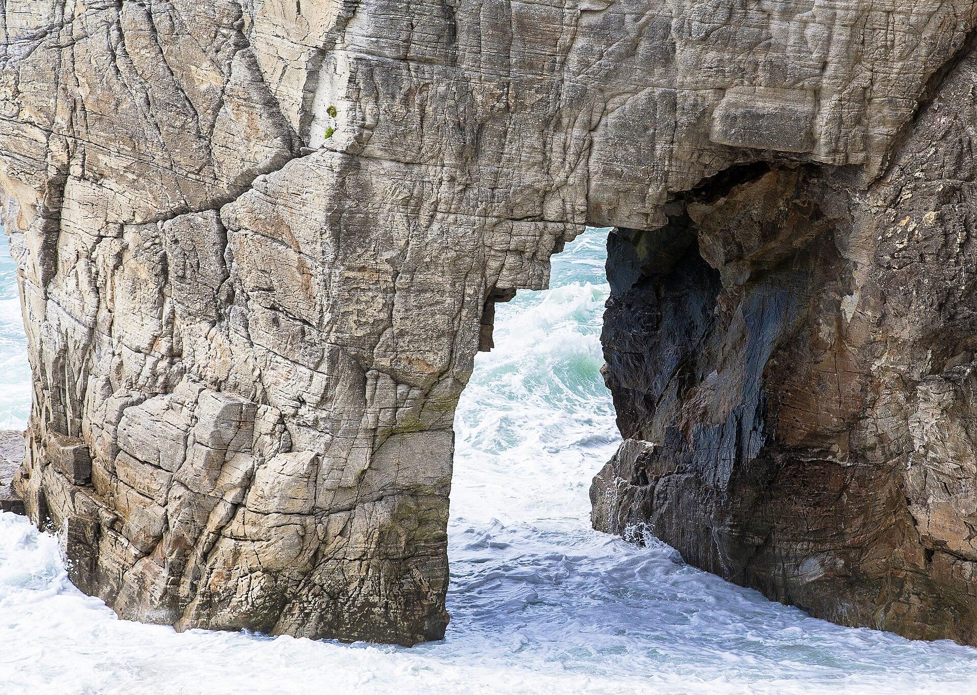 ViewpointArche de Port-BlancSaint-Pierre-Quiberon · 30 to 45 minutes, or longer if you continue along the wild coast.A natural arch on the wild coast of Quiberon, ideal for admiring sculpted rock, the Atlantic and the energy of the coastline.
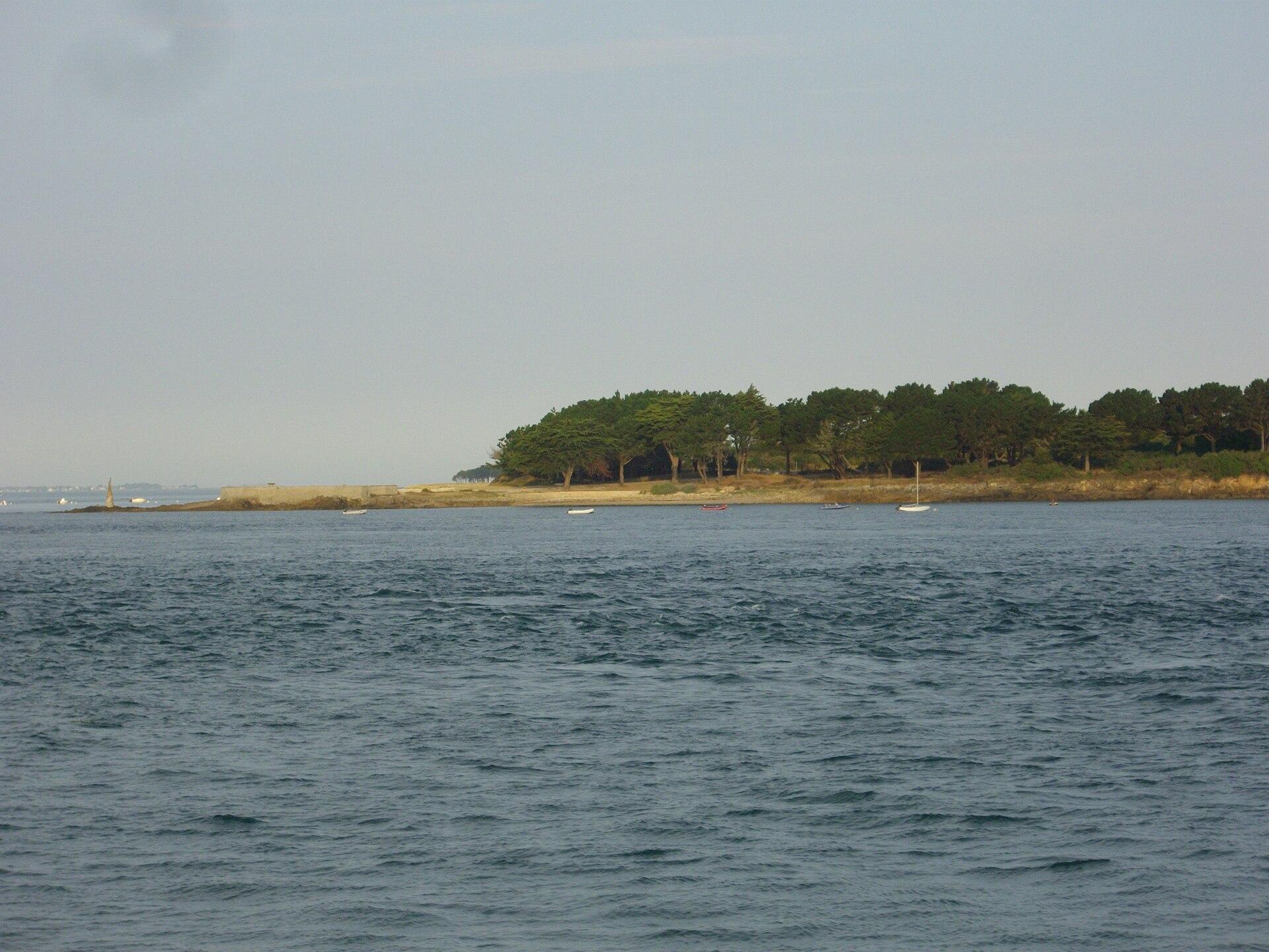 ViewpointPointe de KerpenhirLocmariaquer · 45 minutes to 1 h 30.A spectacular headland marking the western entrance to the Gulf of Morbihan, facing Port-Navalo, with powerful currents, the statue of Notre-Dame de Kerdro and views as far as Houat, Belle-Île and Méaban.
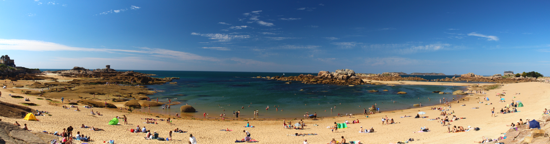 ViewpointPresqu’île RenoteTrégastel · 1 hour minimum, 1 h 30 with many photo stops.An easy 2.1 km loop among chaotic pink granite boulders, with views over Ploumanac’h, the Sept-Îles, Costaérès and the beaches of Trégastel.
When to go
Spring is the best season: the gorse and heather are in flower, the days are getting longer, and the path is dry more often than in autumn. Summer has the drawback of crowds on the well known stretches; winter, of short days, with night falling at five o’clock.